Become proficient in Geographic Information (GIS) in QGIS for vector & raster data analysis, learn fundamentals in QGIS
Fundamentals of practical Geographic Information System (GIS) in the QGIS
I’m very excited that you have found my Fundamentals of practical GIS in the QGIS course. My course provides you with all the necessary theoretical knowledge and practical skills to implement PRACTICAL, GIS analysis starting with the basic concepts of GIS and equipping you with all necessary knowledge and skills to implement your own independent GIS analysis in great QGIS open-source GIS software! I will also demonstrate to you how to implement GIS analyses in the latest long-lasting release version of open-source software QGIS 3.16, thus that you could immediately start using satellite images for your work and Remote Sensing projects.
This fundamental course is designed to equip you with the theoretical and practical knowledge of applied GIS analysis. By the end of the course, you will:
Understand the theory behind GIS analysis
Feel confident and completely understand the basics of GIS and its main components
Learn how to install and configure QGIS
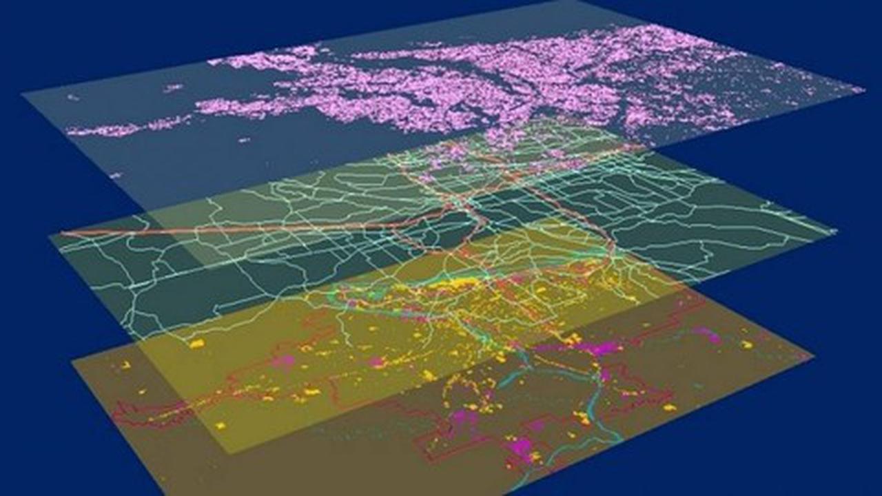
Learn to work with vector and raster data in QGIS as well as use various QGIS plug-ins and toolboxes (SAGA, OTB, SCP etc).
You will learn in QGIS how to perform core vector data analysis (vector overlay, table manipulations, vector editing, value extraction etc) and raster data analysis (raster overlay, distance operations, topographic variable calculation, raster calculator, filtering raster data etc), and produce GIS maps for your reports and much more. In this course, I will also teach you how to work with the popular open-source QGIS software and its great tools and plug-ins for GIS analysis.
The course is ideal for professionals such as geographers, programmers, social scientists, geologists, GIS & Remote Sensing, and all other experts who need to use maps in their field and would like to learn more about geospatial analysis and satellite Remote Sensing in QGIS.
One important part of the course is the practical exercises. You will be given some precise instructions, downloadable practical materials, scripts, and datasets to create maps and conduct geospatial analysis using the QGIS software.
Geographic Information System in QGIS: Basic of GIS Analysis
Become proficient in Geographic Information (GIS) in QGIS for vector & raster data analysis, learn fundamentals in QGIS”
Este curso se encuentra de manera gratuita gracias a un cupón que podrás encontrar aquí abajo.
Toma en cuenta que este tipo de cupones duran por muy poco tiempo.
Si el cupón ya ha expirado podrás adquirir el curso de manera habitual.
Este tipo de cupones duran muy pocas horas, e incluso solo minutos después de haber sido publicados.
Debido a una actualización de Udemy ahora solo existen 1,000 cupones disponibles, NO nos hacemos responsables si el cupón ya venció.
Para obtener el curso con su cupón usa el siguiente botón:
Deja tus comentarios y sugerencias
Sobre Facialix
Facialix es un sitio web que tiene como objetivo apoyar en el aprendizaje y educación de jóvenes y grandes. Buscando y categorizando recursos educativos gratuitos de internet, de esta manera Facialix ayuda en el constante aprendizaje de todos.


